
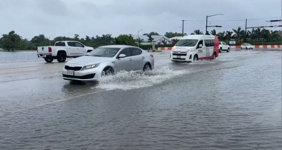
The Cayman Islands National Weather Service has issued a flood alert as an active tropical wave brings widespread showers and thunderstorms across the Islands.
Forecasters say heavy showers could produce between 2 and 2.9 inches of rain within a 24-hour period, increasing the risk of flooding as further rainfall falls on already saturated ground.
The Weather Service said the tropical wave, combined with an upper-level trough over the western Caribbean, is producing widespread shower activity, with locally heavy rainfall possible.
The flood alert is currently in effect through at least Sunday, 20 Sept., though unsettled conditions are expected to persist into the start of the new week.
Weather models indicate periods of rain could continue through Tuesday as elevated moisture remains across the region.
Flooding is most likely on roadways and in low-lying or poorly drained areas. Heavy rain could also reduce visibility, disrupt traffic and lengthen commute times, while flood water could enter some low-lying properties.
“Residents are encouraged to exercise caution, particularly in areas prone to flooding,” the Weather Service said.
Motorists are advised not to drive through flooded roads, where the depth of the water may be difficult to judge, and to use alternative routes where flooding is reported.
Saturday’s forecast calls for cloudy skies with scattered showers and isolated thunderstorms, becoming more frequent at times through the afternoon. Temperatures are expected to reach the upper 80s Fahrenheit, with a heat index near 105F.
A 60% chance of showers and isolated thunderstorms remains overnight, with some rainfall potentially becoming locally heavy.
Winds are expected to remain generally light, while seas will be slight at 1 to 3 feet.
Residents are advised to continue monitoring official weather and road-condition updates as the wet weather continues.



Comments
No comments yet. Be the first to share your thoughts.